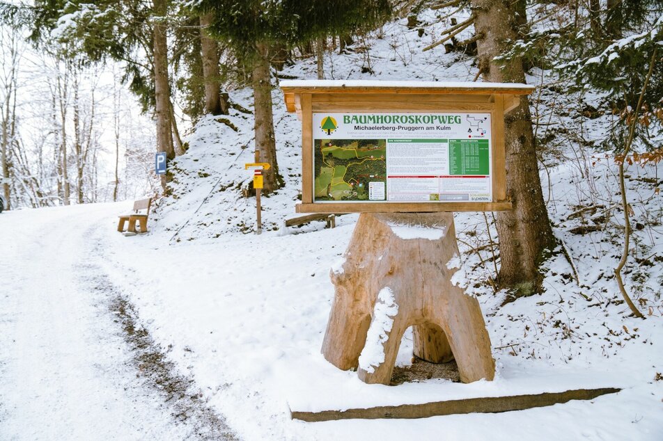
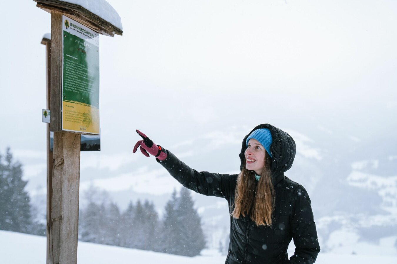
Winter hike tree horoscope trail (Baumhorosokopweg)
easy Snowshoe hikes · Gröbminger Land
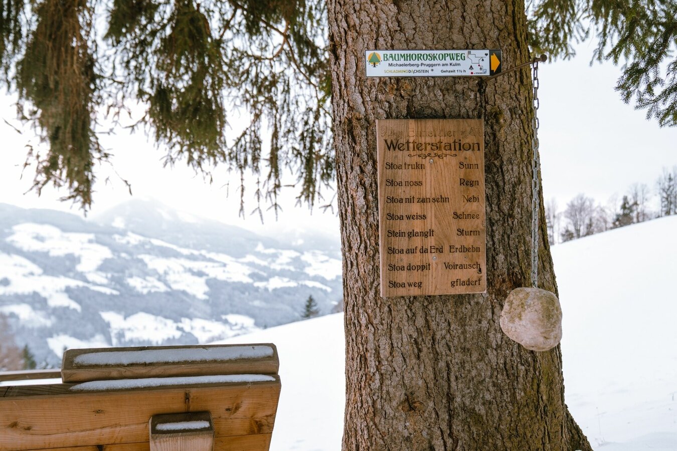
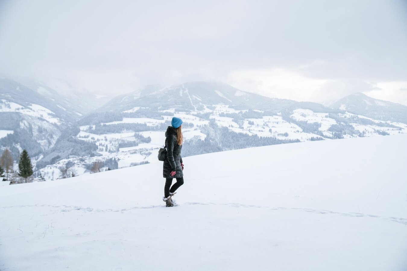
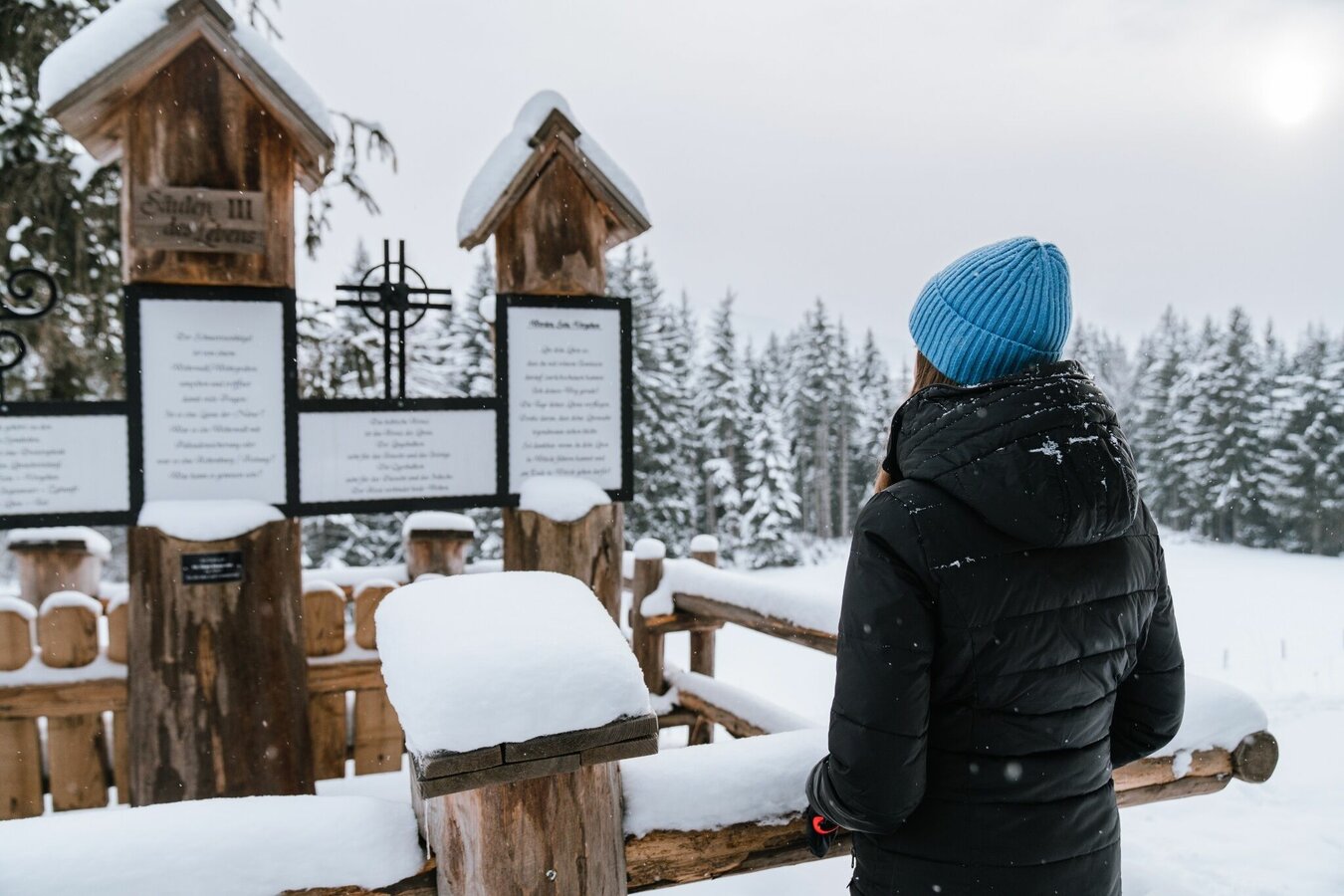
Find out more about your "tree sign" on the Baumhoroskopweg. From the top at Kulm you have a breathtaking view over the surrounding mountains Stoderzinken, Kamm and Grimming. The Peace Bell (Friedensglocke), Stöckelbergalm (not managed) and the "pillars of life" are some of your way points.
Gallery

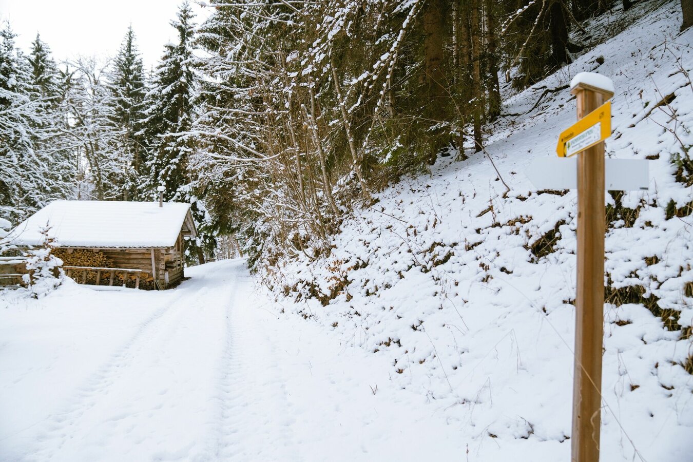
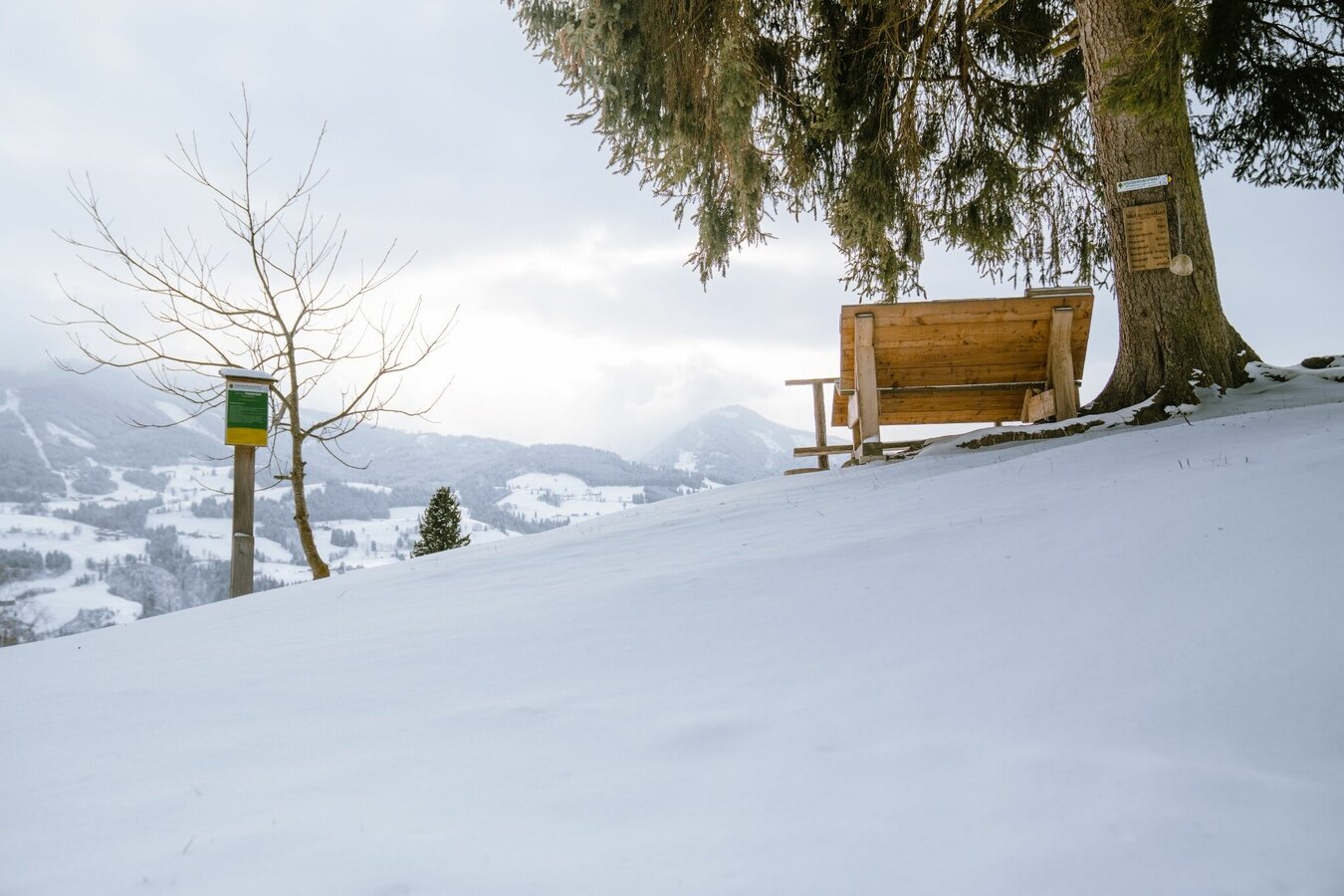
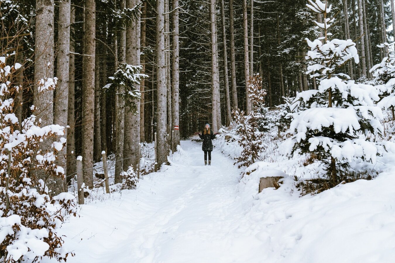


Bei guten Schneeverhältnissen gehts mit guten Winterschuhen oder Schneeschuhen und Skistöcken unterhalb des Ackerlhofs rechts die Forststraße hinauf. Es geht den Waldrand entlang durch den Wald hinauf bis zu einer Lichtung. Von hier aus hat man eine atemberaubende Aussicht auf die umliegenden Berge Stoderzinken, Kamm und Grimming. Rechts weiter gelangt man zur Friedensglocke. Danach quert man die Wiese zur Stöckelbergalm (nicht bewirtschaftet). Man folgt den Schautafeln bis zum Schneerosenhügel. Dort geht es wieder hinab und zurück zum Ausgangspunkt.
From Gröbming a few hundred meters on the B320 federal highway into the direction of Schladming. Exit Kulm to the car park under the Ackerl farm.
No public arrival possible.
Parking area at the farmhouse Ackerl
Changes in weather patterns, quick falls in temperature, thunderstorms, wind, fog and snow are some of the dangers that can be encountered on a hiking tour.
GPS data and orienteering
Available GPS data - just like hiking maps - is only a guidance for orientation and can never depict a trail exactly with all its details. Especially at dangerous spots it is essential to judge on site how to proceed.
In an emergency please call:
- 140 - for Alpine emergencies (all over Austria)
- 112 - European GSM emergency number
Good winter shoes, warm clothing, tuque, and gloves. You might also want to carry a small backbag with a warm drink in a thermos jug.
Bei größerer Schneelage empfehlen wir Schneeschuhe.
Infos & Auskunft: +43 3687 23310
Wintererlebniskarte "MITTE" der Region Schladming-Dachstein, erhältlich in den Infobüros der Region.


