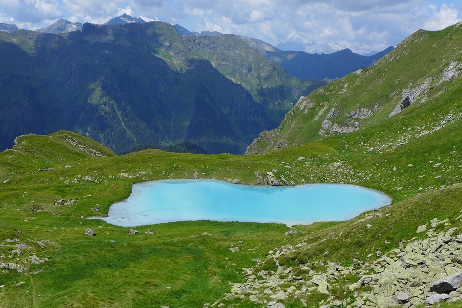
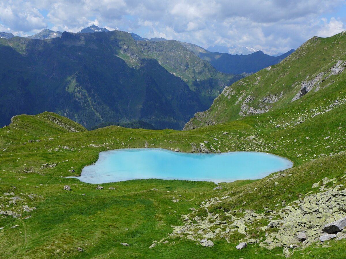
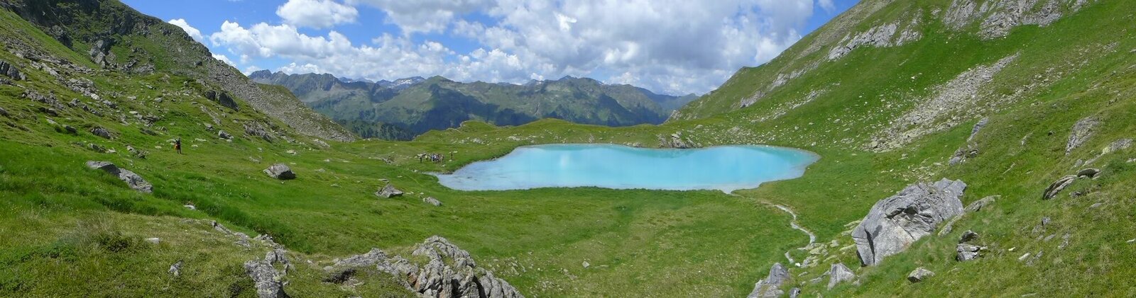
Seekarlsee - Caribbean feeling guaranteed
gemiddeld Water hikes · Naturpark Sölktäler
Tourkenmerken
Conditie
Techniek
Tourinformatie
Parcours: 11.98 km
Duur: 06:30 h
Beklimming: 1000 m
Afdaling: 1000 m
Beste jaargetijde
Januari
Februari
Maart
April
Mei
Juni
Juli
Augustus
September
Oktober
November
December
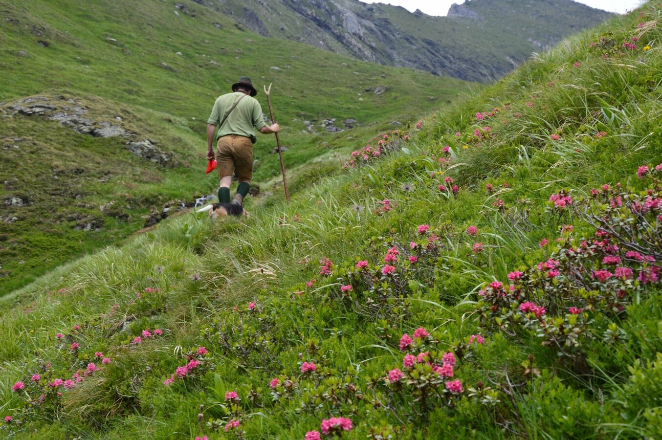
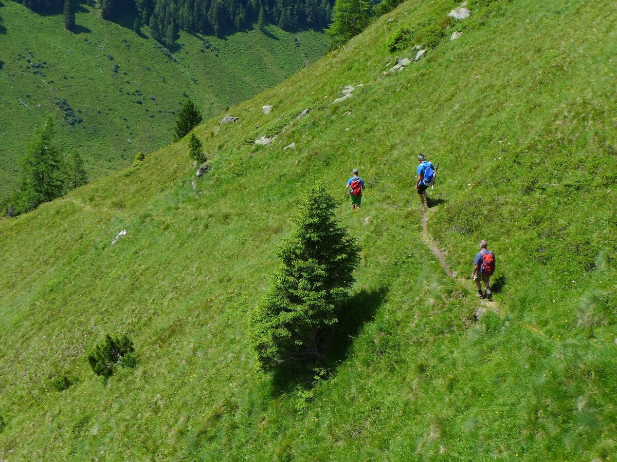
De tour
Dear hikers, enjoy the uniqueness of this landscape and please be careful with it! Take garbage back to the valley. No pollution in the lake. Please do not go into the water and bathe! Otherwise, the lake bottom will be clearly dark discoloured as a result of turbulence. Thanks to your common sense, the uniqueness and beauty will be preserved for everyone. Thank you very much! The Nature Park Team and the Alm Community
Fotogalerij


Nadere informatie
Routebeschrijving
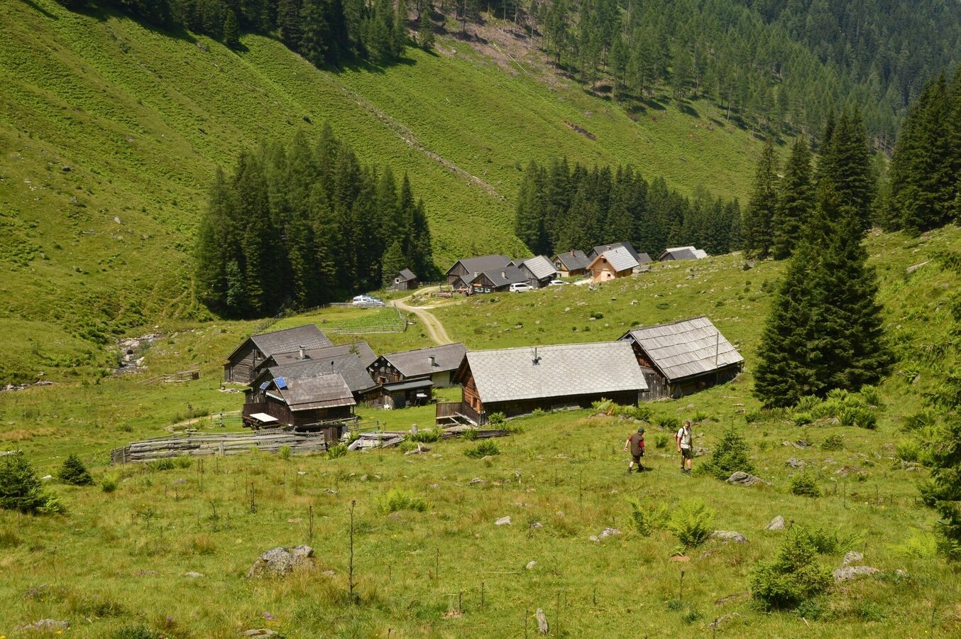
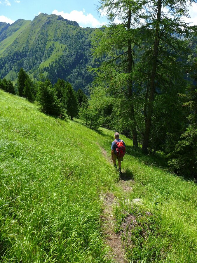
From the Tuchmoar car park (WGS84: O 13,940455, N 47,329039) take path no. 790 along the forest road towards Tuchmoaralm, past the huts and then left following the signs for Seekarlscharte. Follow the path through a high forest. In serpentines the path leads over a steep step. In the area of the forest line the terrain becomes somewhat flatter and leads directly to the turquoise Seekarlsee at 2,140m above sea level.
Start
Car park Tuchmoar
Bestemming
Seekarlsee
Equipment
sturdy shoes
Tip van de auteur
Visit to the Tuchmoaralm, Blasenhütte or Köckhütte
Weersvooruitzichten
Datum kiezen
Dry and partly sunny throughout the day, with cloudy periods from time to time.
Sunny in the morning, but increasingly cloudy during the day. Showers will be possible towards evening.
Dry and partly sunny throughout the day, with cloudy periods from time to time.


